


OUTLOOK
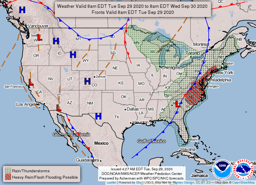
Weak high pressure crosses the area today bringing seasonably cool conditions. Then a strong, but dry, cold front will cross our region on Thursday dropping temperatures to well below normal. Expect the coolest night to be Friday night, followed by a slight warming trend, as our weather stays somewhat cool into next week.
---BEGIN SPONSOR SEGMENT---
Weather Sponsor

Adams Products, a Division of Oldcastle is underwriting the daily weather briefing & public safety updates for the month.
Open 7:30 AM to 4:00 PM, M-F, located at 895 Hickory Knoll Road, Franklin, NC. Visit our Facebook page at: https://www.facebook.com/Adams.Oldcastle.Franklin.NC/
All your masonry needs are available. Our phone number is 828.524.8545, the public is welcome, we’ll help you with your next project.
--- END SPONSOR SEGMENT---
News Brief
County Commissioners Select New County Attorney
Afte a closed meeting lasting almost an hour and a half, the Macon County Board of Commissioners returned to open session and voted 3-2 (Higdon and Gillespie voting no) to instruct Derek Roland (the county manager) to enter into negotiations with Fred Jones to replace the retiring Chester Jones as new County Attorney after October 31st. Macon Media and The Franklin Press were the only media outlets present in the boadroom. Videos are posted below. A more complete article and edited video will be published later.
Part 1 (Before the closed session)
Part 2 (After the closed session)
September 28, 2020 Macon County Boad of Education Meeting
General forecast through Friday night
Today
Patchy fog before 9am. Otherwise, sunny, with highs in the 60s. Calm winds in the morning increasing to come out of the northwest around 5 mph in the afternoon.
Tonight
Clear, with lows in the 40s. A few locations may dip into the upper 30s. Calm winds.
Thursday
Sunny, with highs ranging from the low-to-mid 60s in the higher elevations to the low-to-mid 70s in the lower elevations. Calm winds in the morning increasing to come out of the northwest around 5 mph in the afternoon.
Thursday Night
Clear, with lows in the mid-to-upper 30s in the higher elevations to the low-to-mid 40s in the lower elevations. Wind chill values will be below freezing in the higher elevations and in the upper 30s elsewhere. Winds out of the northwest 5 to 10 mph. Winds could gust as high as 20 mph.
Friday
Sunny, with highs ranging from the upper 50s in the higher elevations in the higher elevations to the mid-60s in the lower elevations. Calm winds in the morning increasing to come out of the northwest around 5 mph in the afternoon.
Friday Night
Clear, with lows in the 30s. Some locations in the higher elevations may dip below freezing.
HAZARDS
Hazardous weather is not expected today. If you have outdoor plants that are sensitive to colder temperatures, you may want to consider covering them or moving them indoors Thursday and Friday night.
Air Quality

Air quality is in the upper range of green for most of the county, including the ridges and other higher elevations today.
Pollen
Pollen levels are expected to be in the low-medium range (4.7 out of 12) with ragweed, chenopods, and grasses being the main culprits. Tomorrow is expected to be very low-medium due to rain (4.6 out of 12).
TROPICAL WEATHER
(The North Atlantic Hurricane Season runs from June 1st to Nov 30th)

Tropical Weather Outlook
NWS National Hurricane Center Miami FL
200 AM EDT Wed Sep 30 2020
For the North Atlantic...Caribbean Sea and the Gulf of Mexico:
1. A tropical wave located over the central Caribbean Sea is expected to move westward to west-northwestward over the next few days and interact with a frontal system, producing a broad area of low pressure over the western Caribbean Sea by Thursday night or Friday. Environmental conditions are forecast to be conducive for some development thereafter, and a tropical depression could form over the weekend while the system moves slowly west-northwestward over the northwestern Caribbean Sea.
* Formation chance through 48 hours...low...10 percent.
* Formation chance through 5 days...medium...60 percent.
CROWDFUNDING OR DAY SPONSORSHIP OPPORTUNITIES
If you receive value from what Macon Media provides to the community, please consider becoming a supporter and contribute at least a dollar a month. Those who support Macon Media with at least a dollar a month receive early access to video of some events and meetings before they are made public on the website. Videos and news involving public safety are not subject to early access.
Or, if you prefer Pay Pal, try PayPal.me/MaconMedia
Published at 5:10am Wednesday, September 30, 2020


0 comments :
Post a Comment